Measured Building Surveys // Scan to BIM & Digital Modelling
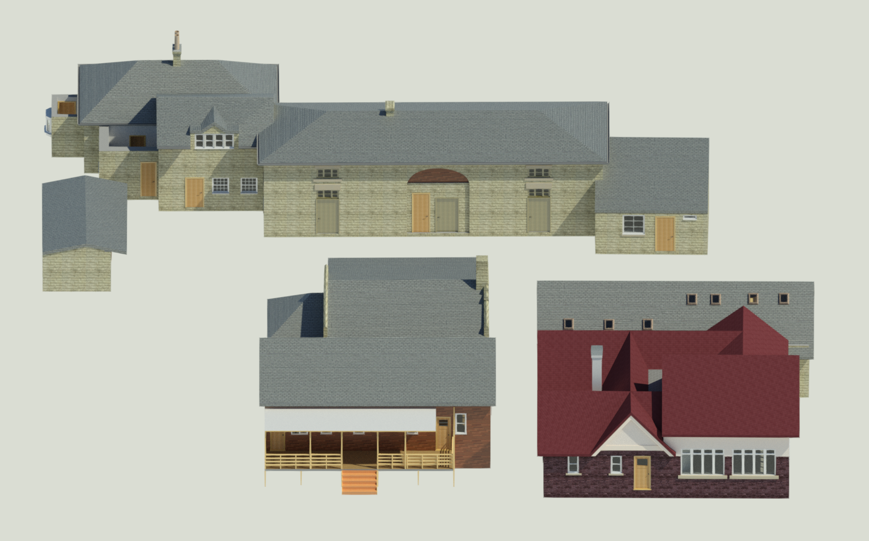
A detailed LiDAR and BIM survey was completed to create accurate digital models of Jesmond Dene’s listed tennis club buildings for redevelopment, conservation, and future asset management.
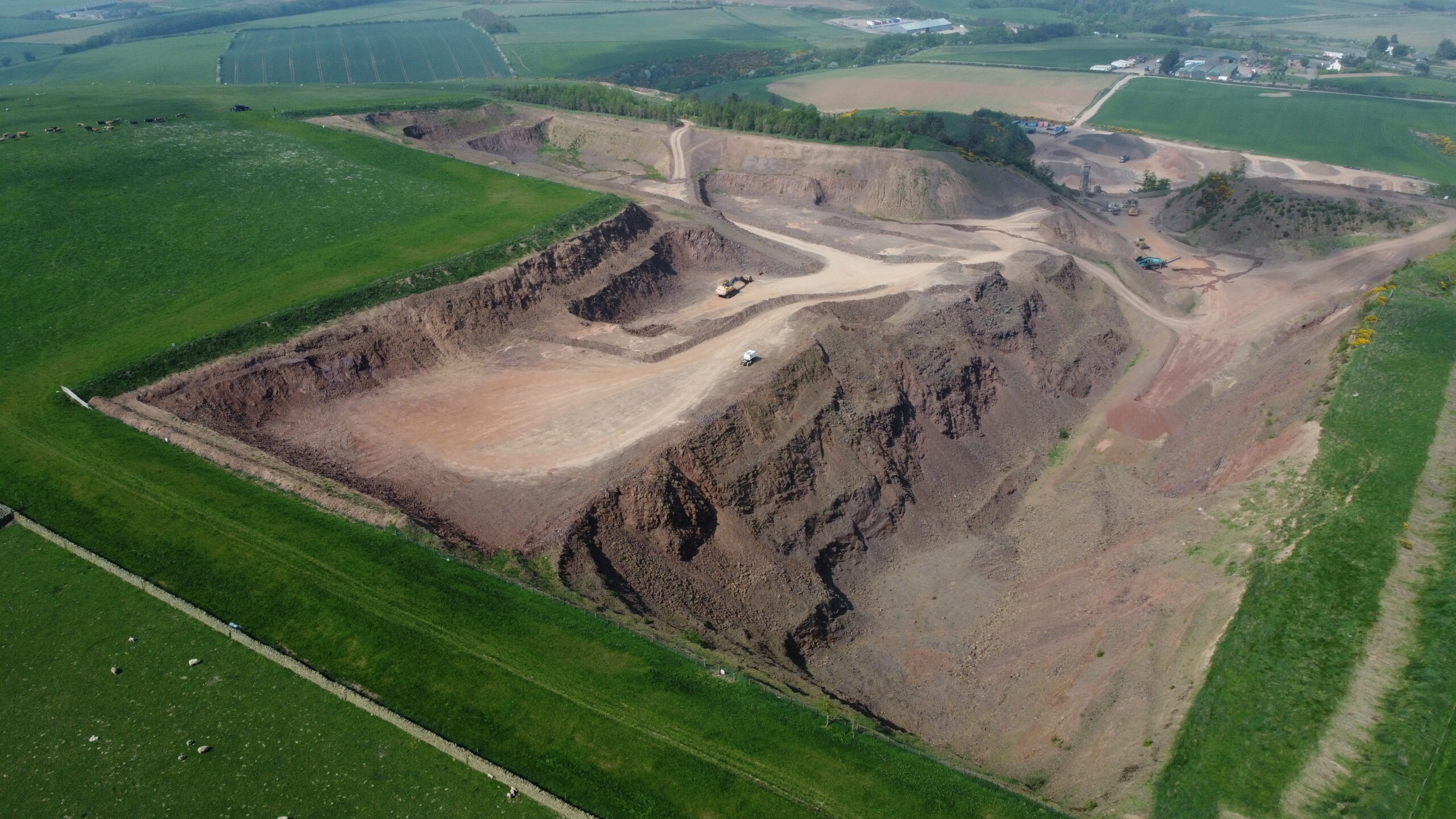
Ongoing drone surveying, laser scanning and volumetric analysis supporting quarry development and stockpile management across Glenfin and Fulfordlees Quarries since 2024.
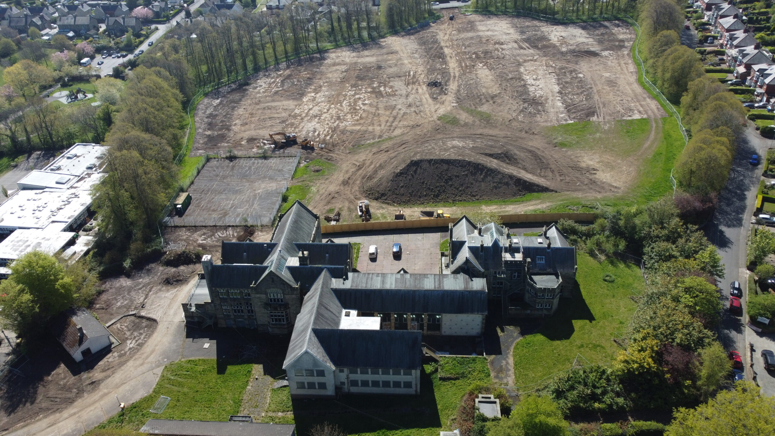
A high-precision LiDAR survey and cut-and-fill analysis was completed for the redevelopment of the former Duke’s Middle School site, providing accurate earthworks quantities and ground modelling for residential development.
Scan to BIM & Digital Modelling // Utility Detection & GPR
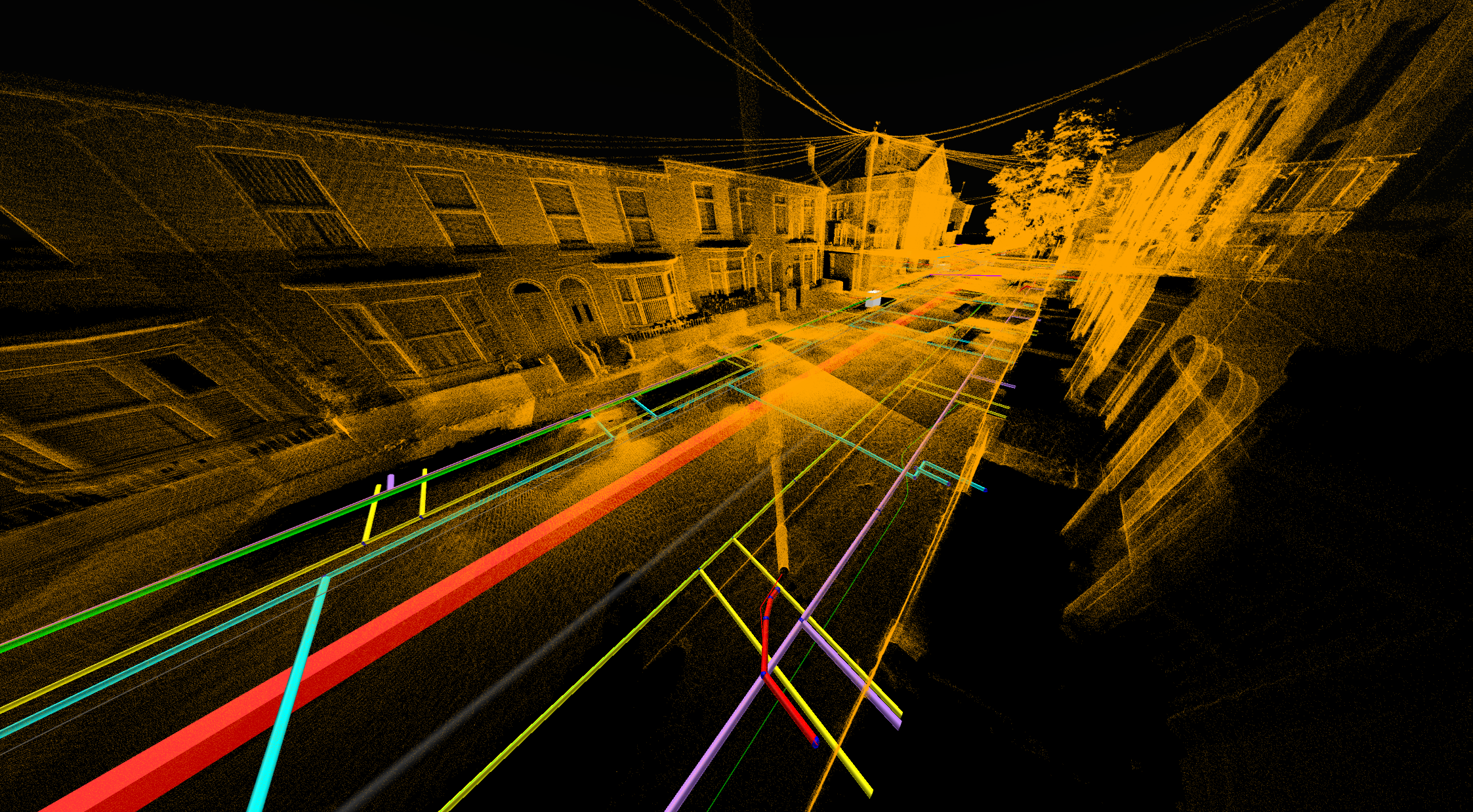
PAS128-compliant utility detection, GPR surveying and 3D utility modelling undertaken along Lancaster Street, Bootle to support future infrastructure works.
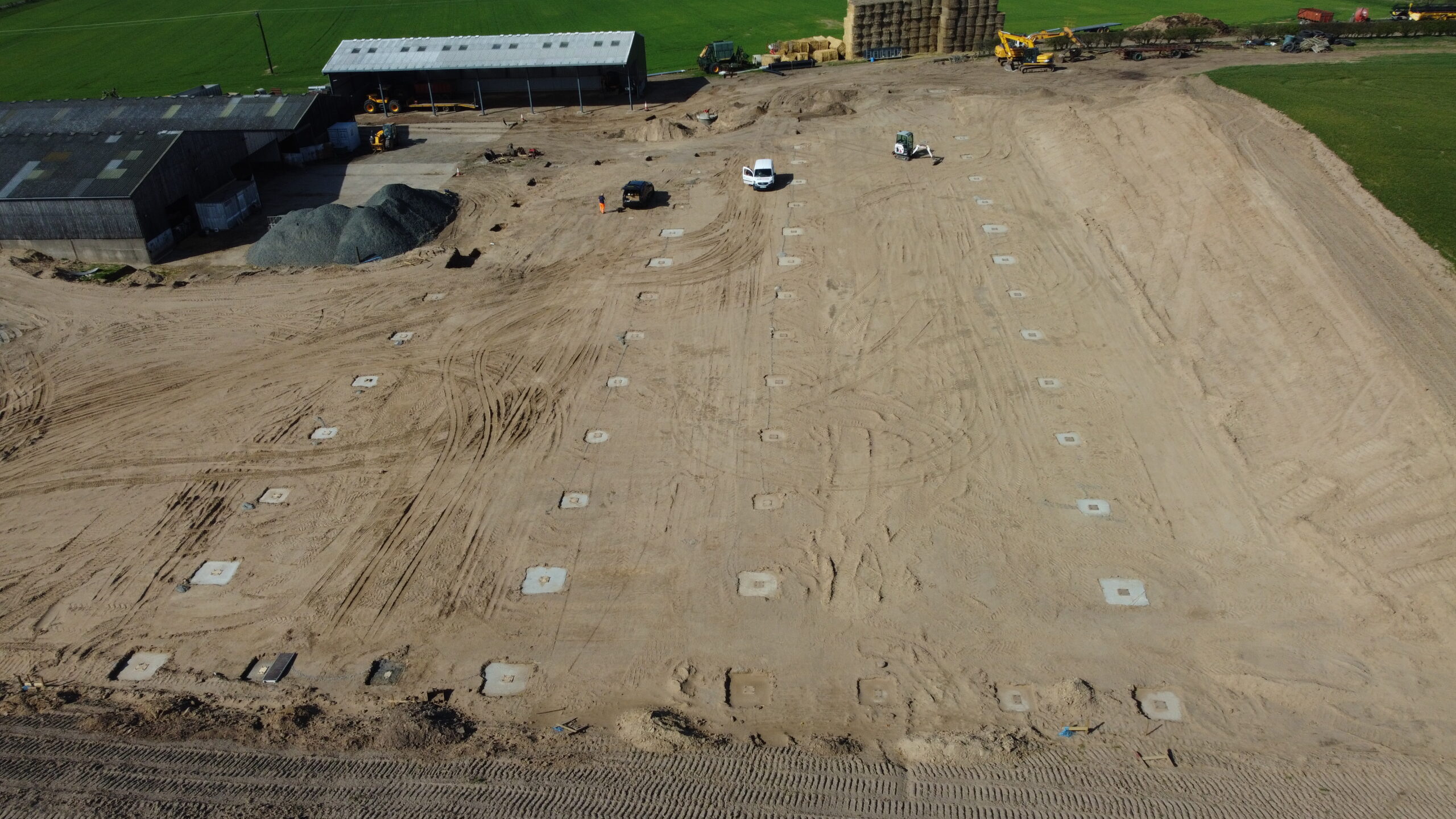
Survey and engineering support was provided for a residential hillside development, including ICF wall verification, construction monitoring, and quality assurance measurements.
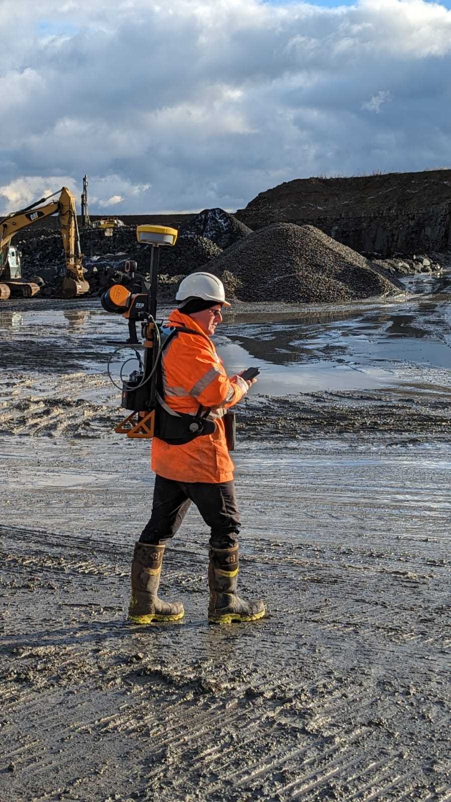
A detailed GeoSLAM laser scanning survey was completed to map and record individual trees across a woodland area, producing an accurate geo-referenced tree inventory and digital survey outputs.
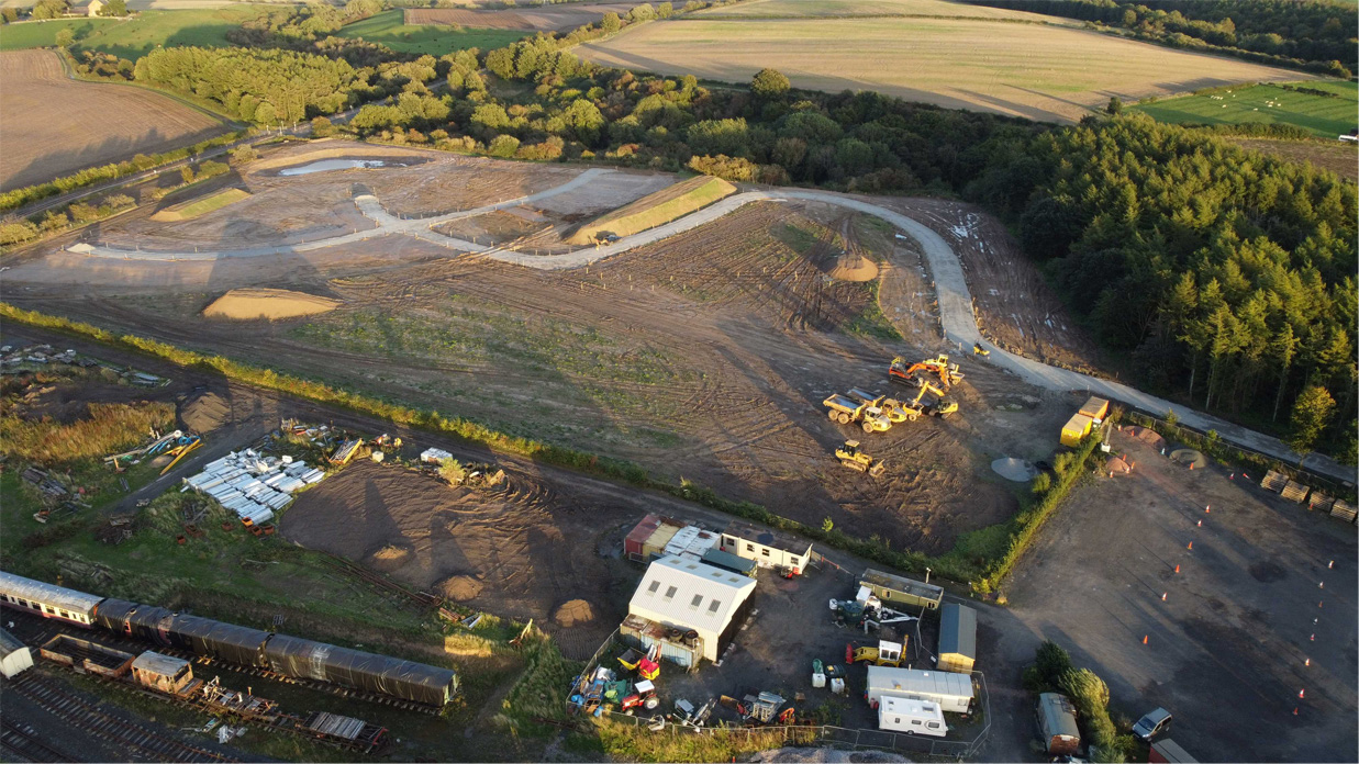
A site-wide LiDAR survey was completed for Phase 1 of the Alnwick Caravan Park development, providing terrain modelling and earthworks analysis to support construction planning.