Measured Building Surveys // Scan to BIM & Digital Modelling

Grade Listed Buildings Scan to BIM

Project Overview

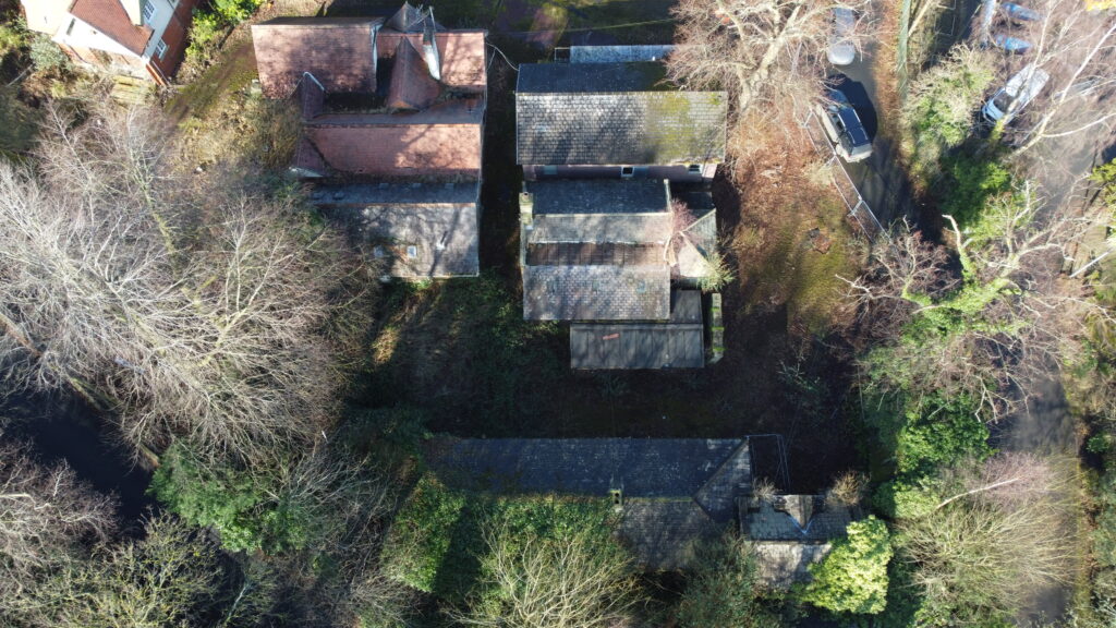
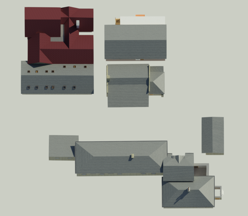
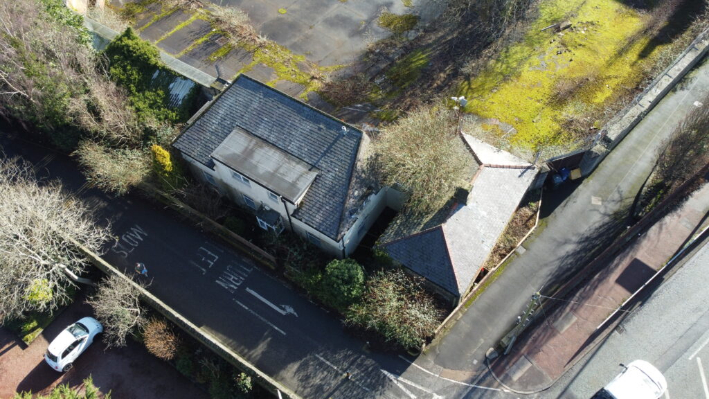
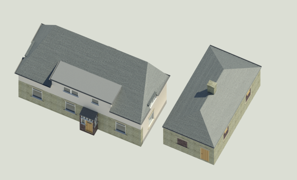
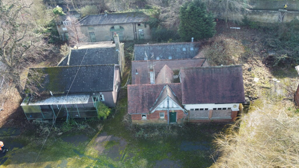
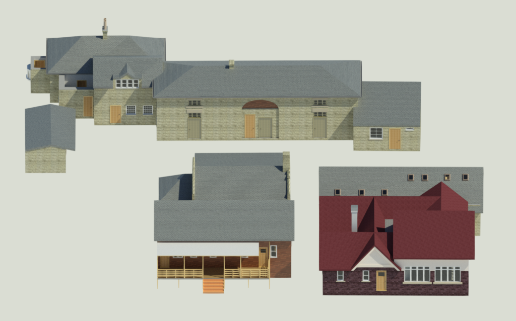
Precision Site Engineering was commissioned to undertake detailed LiDAR surveys and BIM modelling of a group of listed buildings within the Jesmond Dean Tennis Club estate. The project required the capture of accurate internal and external survey data to support redevelopment proposals, building documentation and future asset management activities. The resulting BIM models provided a highly detailed digital representation of the buildings while preserving the integrity of the historic structures.
Scope Of Works

  • Undertake detailed LiDAR surveys of multiple listed buildings.
  • Capture high-accuracy internal and external building geometry.
  • Collect survey data in areas with restricted access and structural limitations.
  • Process and register point cloud datasets.
  • Develop detailed BIM models using Autodesk Revit.
  • Utilise Atlas software to assist point cloud processing and model development.
  • Produce digital assets to support redevelopment and conservation planning.

Deliverables

  • Registered LiDAR point cloud datasets.
  • Detailed BIM models developed in Autodesk Revit.
  • Accurate internal and external building representations.
  • Digital documentation of listed structures.
  • Redevelopment and planning support information.
  • Heritage building survey records

Media