Topographic Surveys

Accurate site surveys for planning, design and construction projects.

What Is A Topographic Survey?

Every successful project starts with accurate information. Our topographic surveys provide a detailed and reliable picture of your site, giving architects, engineers, developers, and contractors the data they need to make informed decisions from day one.

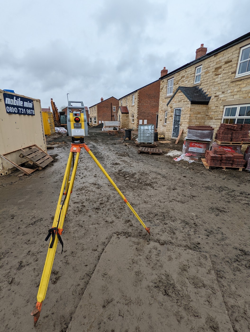
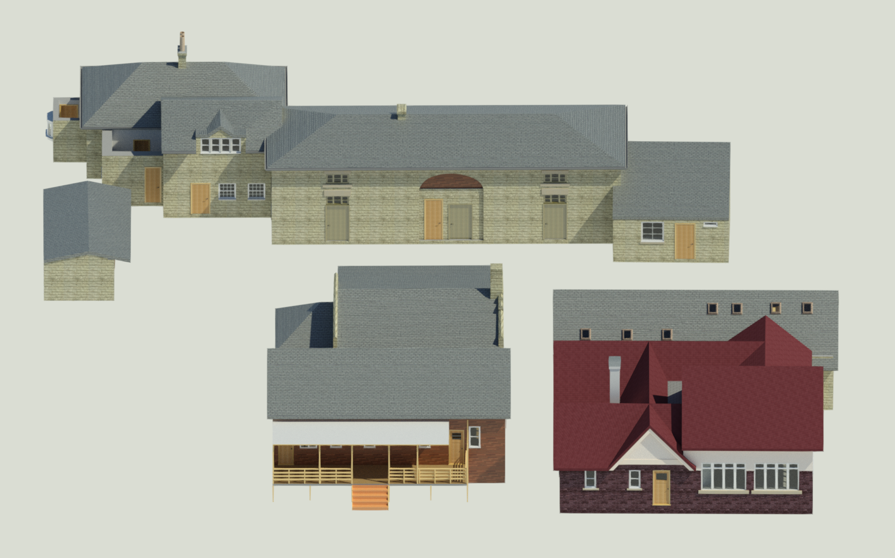
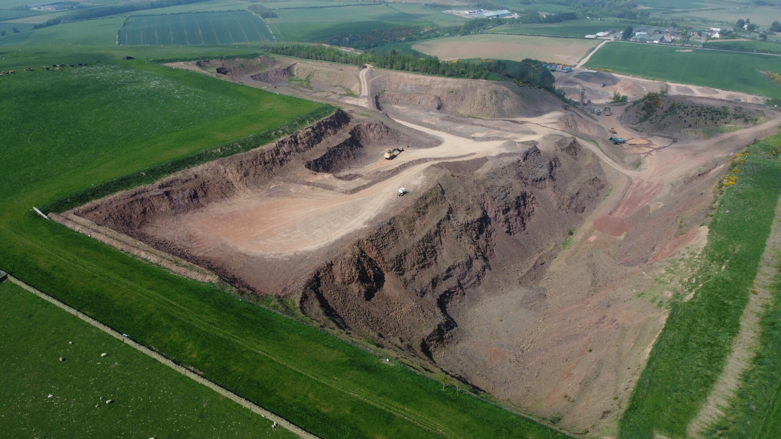
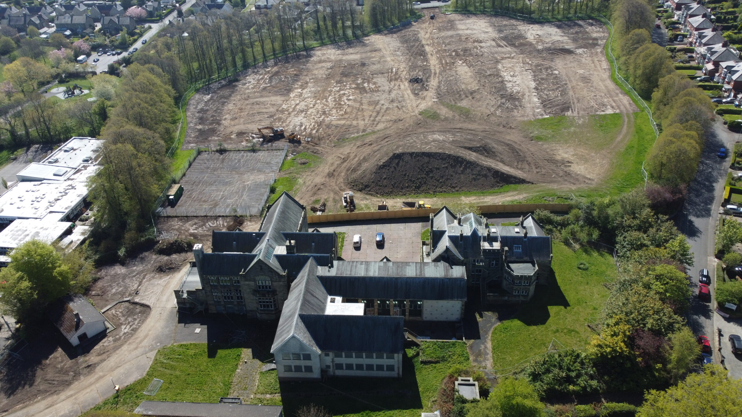
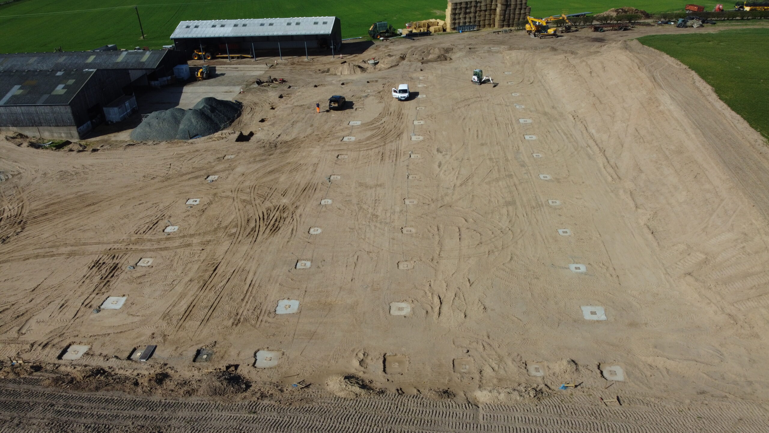
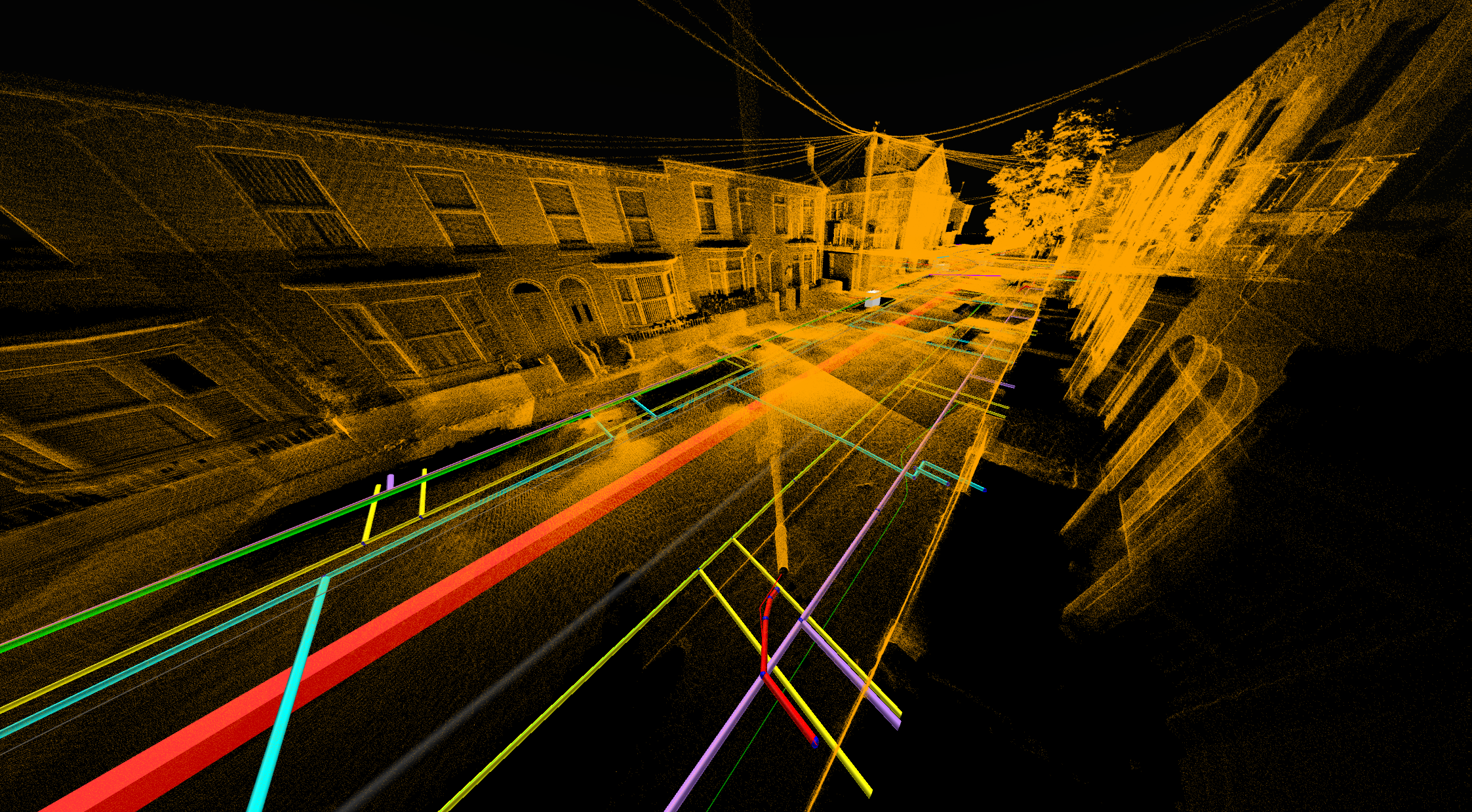
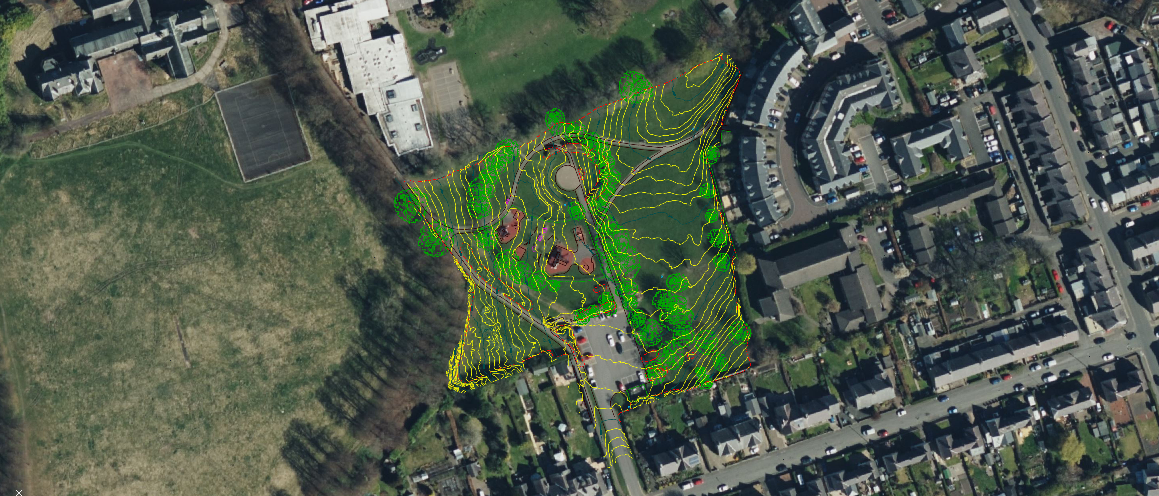
Using advanced surveying equipment, drone technology, laser scanning, and GPS systems, we accurately capture ground levels, existing features, boundaries, utilities, buildings, and site constraints. This information forms the foundation for planning applications, design development, construction projects, and site engineering works.

By identifying potential issues early and eliminating uncertainty, our surveys help reduce project risk, avoid costly delays, and streamline the design and construction process. Whether you’re developing a residential site, commercial property, industrial facility, or infrastructure scheme, Precision Site Engineering delivers the accurate survey data your project depends on.

How Topographic Surveys Reduce Project Risk

WHY IS IT IMPORTANT?

Accurate information at the beginning of a project can save significant time and cost later on. Without reliable survey data, design teams risk working with assumptions that can lead to clashes, redesigns, planning issues and construction delays.

By providing a clear understanding of existing conditions, our surveys help minimise risk and allow projects to progress with confidence.

What You'll Receive

Every project is tailored to client requirements, but deliverables typically include:

Why Choose Precision Site Engineering?

We understand that survey information is often the foundation upon which entire projects are designed and delivered.

Our team combines modern survey technology with practical construction and engineering experience to provide accurate information that clients can trust.

From residential developments and commercial schemes to complex infrastructure projects, we deliver reliable data, clear communication, and responsive support throughout every stage of the project.

Typical Applications

Planning

Detailed site information to support planning submissions and feasibility studies.

Residential

Survey data for housing developments, apartment schemes and residential redevelopment projects.

Infrastructure

Survey support for highways, rail, utilities, drainage and civil engineering projects.

Commercial

Accurate site surveys for offices, retail developments, industrial units and mixed-use schemes.

Related Projects