Drone & Laser Scanning // Earthworks & Volumetrics

Redevelopment Cut And Fill Analysis

Project Overview

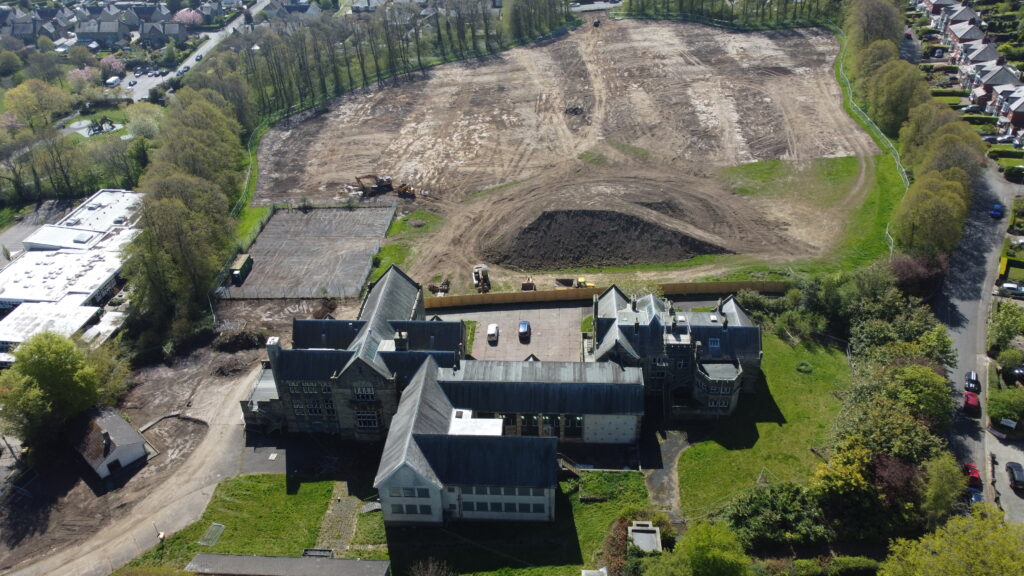
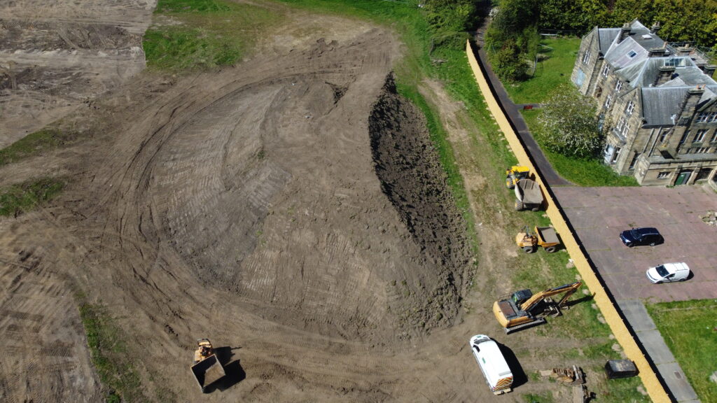
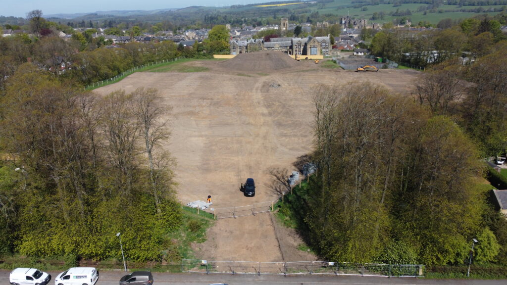
Precision Site Engineering was commissioned to undertake a detailed cut and fill analysis for a residential redevelopment project on the former Duke’s Middle School site in Alnwick. Following completion of the site strip, a high-precision LiDAR survey was carried out to accurately capture existing ground levels and verify earthwork quantities required for the proposed housing development.
Scope Of Works

  • Carry out a high-precision LiDAR survey of the stripped site.
  • Capture existing ground levels across the development area.
  • Review proposed site design and finished formation levels.
  • Undertake detailed cut and fill calculations.
  • Assess spoil volumes and material redistribution requirements.
  • Provide quantity verification to support project planning and budgeting.

Deliverables

  • High-density LiDAR survey data.
  • Existing ground surface model.
  • Cut and fill volume calculations.
  • Earthworks quantity spreadsheets.
  • Detailed spoil volume breakdowns.
  • Digital survey outputs and supporting reports.

Media