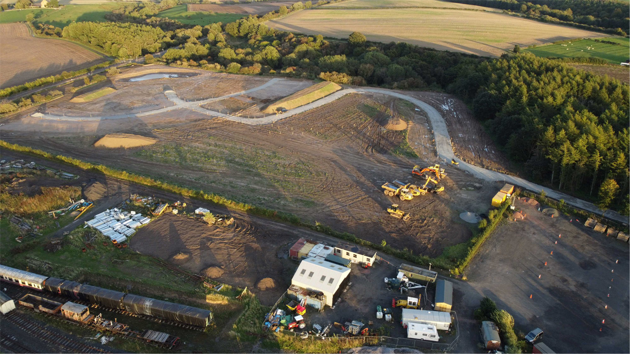
Drone and Laser Scanning technologies allow large volumes of highly accurate survey data to be captured quickly, safely and efficiently.
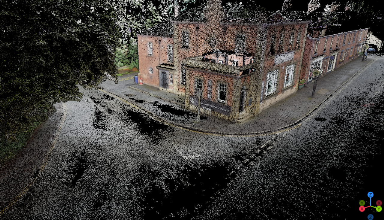
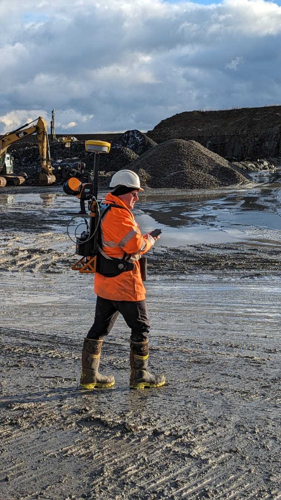
Using UAVs (drones), terrestrial laser scanners and mobile scanning systems, we collect millions of measured data points to create precise digital representations of sites, buildings, structures and landscapes. These advanced reality capture techniques provide a level of detail that is difficult or impractical to achieve through traditional survey methods alone.
The resulting datasets can be used to create topographic surveys, point clouds, digital terrain models, volumetric calculations, BIM models, orthophotos and asset records that support informed project decision-making.
From construction projects and infrastructure schemes to land development and heritage sites, Precision Site Engineering delivers reliable reality capture solutions tailored to your project requirements.
HOW Drone & Laser Scanning Reduce PROJECT RISK
WHY IS IT IMPORTANT?
Accurate site information is essential when planning, designing and delivering successful projects. Traditional survey methods can be time-consuming, disruptive or difficult to undertake in large, inaccessible or hazardous environments.
Drone and laser scanning technologies allow comprehensive survey information to be captured rapidly while minimising site disruption and improving safety. By providing highly accurate, data-rich models of existing conditions, project teams can make better-informed decisions and identify potential issues earlier.
This reduces uncertainty, improves planning accuracy and supports more efficient project delivery.
What You'll Receive
Every project is tailored to client requirements, but deliverables typically include:
Point Cloud Data
Topographic Survey Information
3D Surface Models
Digital Terrain Models (DTMs)
Volumetric Calculations
BIM & Revit-Compatible Data
Why Choose Precision Site Engineering?
We combine advanced reality capture technology with extensive surveying expertise to deliver accurate, reliable and practical survey information.
Our team utilises the latest drone, LiDAR and laser scanning systems to efficiently capture detailed site information across a wide range of environments. Whether surveying complex buildings, large development sites, infrastructure corridors or difficult-to-access locations, we provide high-quality datasets that support confident decision-making.
By integrating modern capture technologies with traditional surveying principles, we deliver dependable information that helps clients reduce risk, improve planning and streamline project delivery.
Typical Applications
TOPOGRAPHIC & LAND SURVEYS
Rapid data capture for large development sites, infrastructure corridors and land development projects.
VOLUMETRICS & EARTHWORKS
Accurate stockpile measurements, cut-and-fill calculations and ongoing site monitoring.
BUILDING & ASSET SURVEYS
Detailed laser scanning for existing structures, measured building surveys and Scan to BIM workflows.
INFRASTRUCTURE & UTILITIES
Efficient surveying of highways, railways, utilities, renewable energy assets and civil engineering projects.
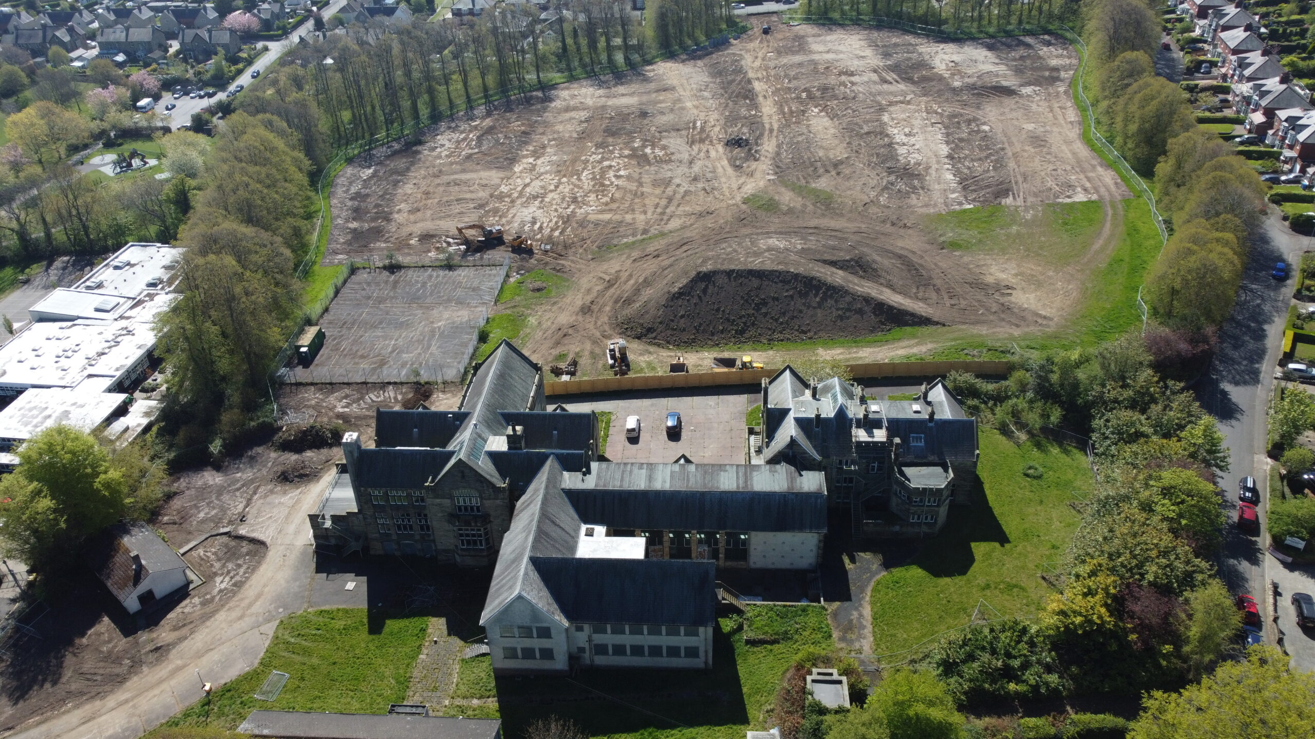
A high-precision LiDAR survey and cut-and-fill analysis was completed for the redevelopment of the former Duke’s Middle School site, providing accurate earthworks quantities and ground modelling for residential development.
A detailed GeoSLAM laser scanning survey was completed to map and record individual trees across a woodland area, producing an accurate geo-referenced tree inventory and digital survey outputs.
A site-wide LiDAR survey was completed for Phase 1 of the Alnwick Caravan Park development, providing terrain modelling and earthworks analysis to support construction planning.