Drone & Laser Scanning // Earthworks & Volumetrics

Caravan Park Volumetrics

Project Overview

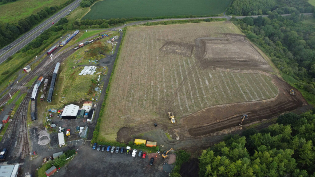
Precision Site Engineering provided LiDAR scanning and volumetric surveying services for Phase 1 of the Alnwick Caravan Park development. The survey captured the entire site to assess the remaining cut and fill requirements, providing accurate earthworks information to support construction planning and material management.

Scope Of Works

  • Undertake a site-wide LiDAR survey.
  • Capture existing terrain and earthworks progress.
  • Assess remaining cut and fill requirements.
  • Generate accurate site models and survey data.
  • Support project planning and material management activities.

Deliverables

  • LiDAR point cloud data.
  • Digital terrain models (DTM).
  • Cut and fill calculations.
  • Earthworks progress assessments.
  • Survey reports and digital outputs.

Media