Accurate earthworks information is essential for planning, managing and controlling construction projects.
Earthworks and Volumetric Surveys use drone technology, laser scanning and advanced surveying techniques to accurately measure stockpiles, excavations, earthworks operations and site changes. By capturing detailed site data, we calculate material quantities and provide precise information to support planning, procurement and project management.
Whether monitoring ongoing site progress, calculating cut and fill requirements or verifying contractor quantities, volumetric surveys provide reliable data that helps minimise uncertainty and improve decision-making.
From residential developments and infrastructure schemes to quarries, landfills and commercial construction projects, Precision Site Engineering delivers accurate earthworks and volumetric solutions tailored to your project requirements.
HOW Earthworks & Volumetrics Reduce PROJECT RISK
WHY IS IT IMPORTANT?
Inaccurate material quantities can lead to significant cost overruns, programme delays and inefficient resource management.
Earthworks and volumetric surveys provide dependable information on site materials, excavation volumes and stockpile quantities, allowing project teams to make informed operational and commercial decisions.
By monitoring site changes and accurately measuring material movement, clients gain greater control over costs, productivity and construction progress throughout the project lifecycle.
What You'll Receive
Every project is tailored to client requirements, but deliverables typically include:
Cut & Fill Analysis
Stockpile Volume Calculations
Earthworks Quantity Reports
Digital Terrain Models (DTMs)
Existing & Proposed Surface Comparisons
Site Progress Monitoring
Drone Survey Data
CAD & PDF Deliverables
Why Choose Precision Site Engineering?
Accurate quantity information is fundamental to effective project planning and cost control.
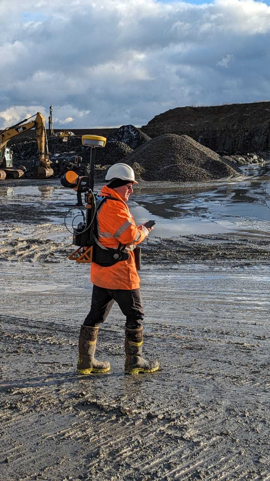
Our team combines advanced drone surveying, laser scanning and traditional surveying techniques to provide highly accurate earthworks and volumetric information. Using industry-leading technology, we efficiently capture large areas and deliver reliable volume calculations that support informed project decision-making.
Whether you’re tracking construction progress, managing material stockpiles or planning large-scale earthworks operations, our surveys provide the confidence required to make critical project decisions.
Typical Applications
RESIDENTIAL DEVELOPMENTS
Cut and fill calculations to support housing developments, site preparation works and land remediation projects.
QUARRIES & STOCKPILE MANAGEMENT
Accurate stockpile volume calculations for aggregate, mineral and bulk material management.
INFRASTRUCTURE PROJECTS
Earthworks monitoring and quantity verification for road, rail, utility and civil engineering schemes.
CONSTRUCTION & LAND DEVELOPMENT
Progress tracking, excavation monitoring and material movement analysis throughout the construction programme.
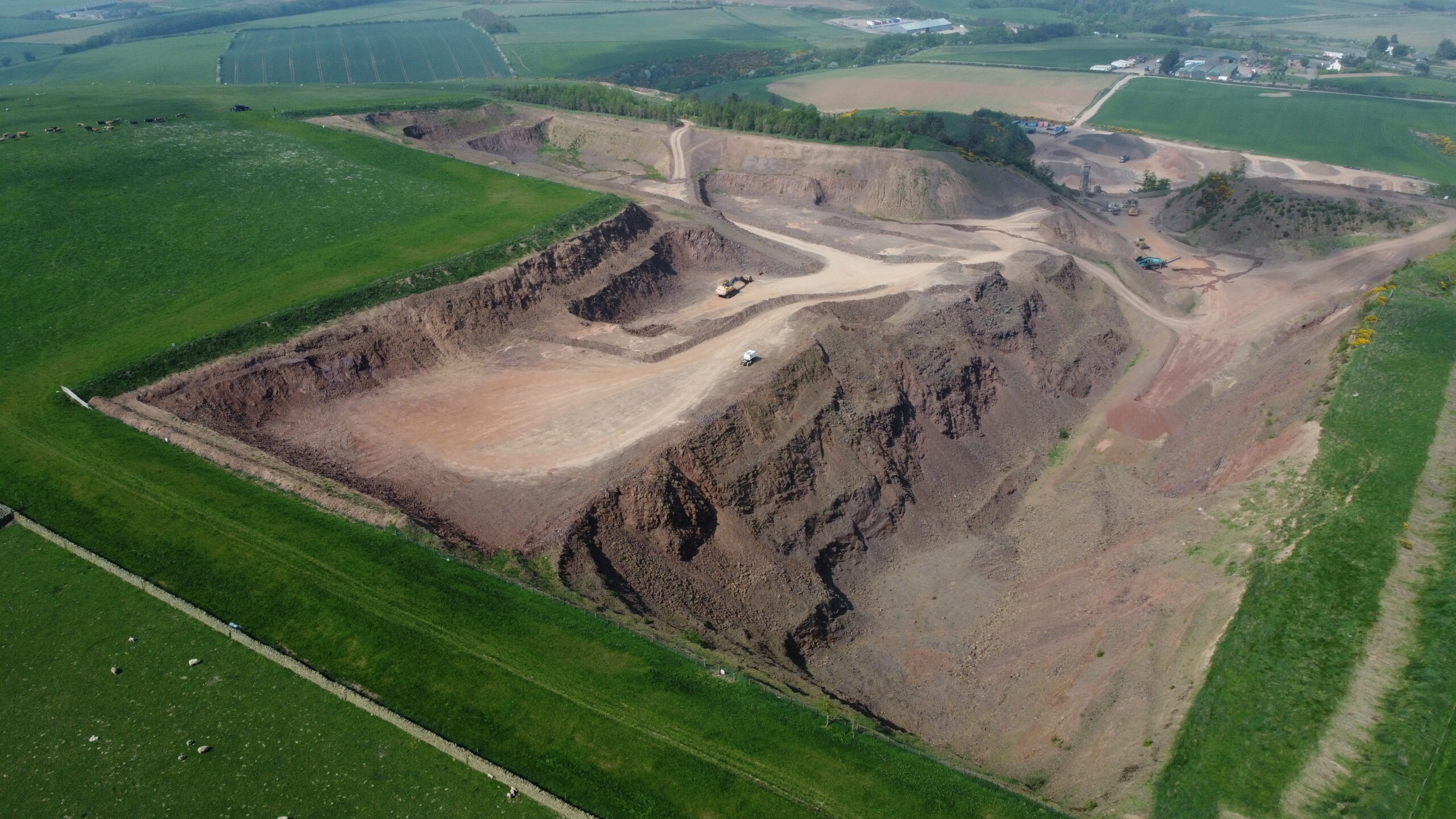
Ongoing drone surveying, laser scanning and volumetric analysis supporting quarry development and stockpile management across Glenfin and Fulfordlees Quarries since 2024.
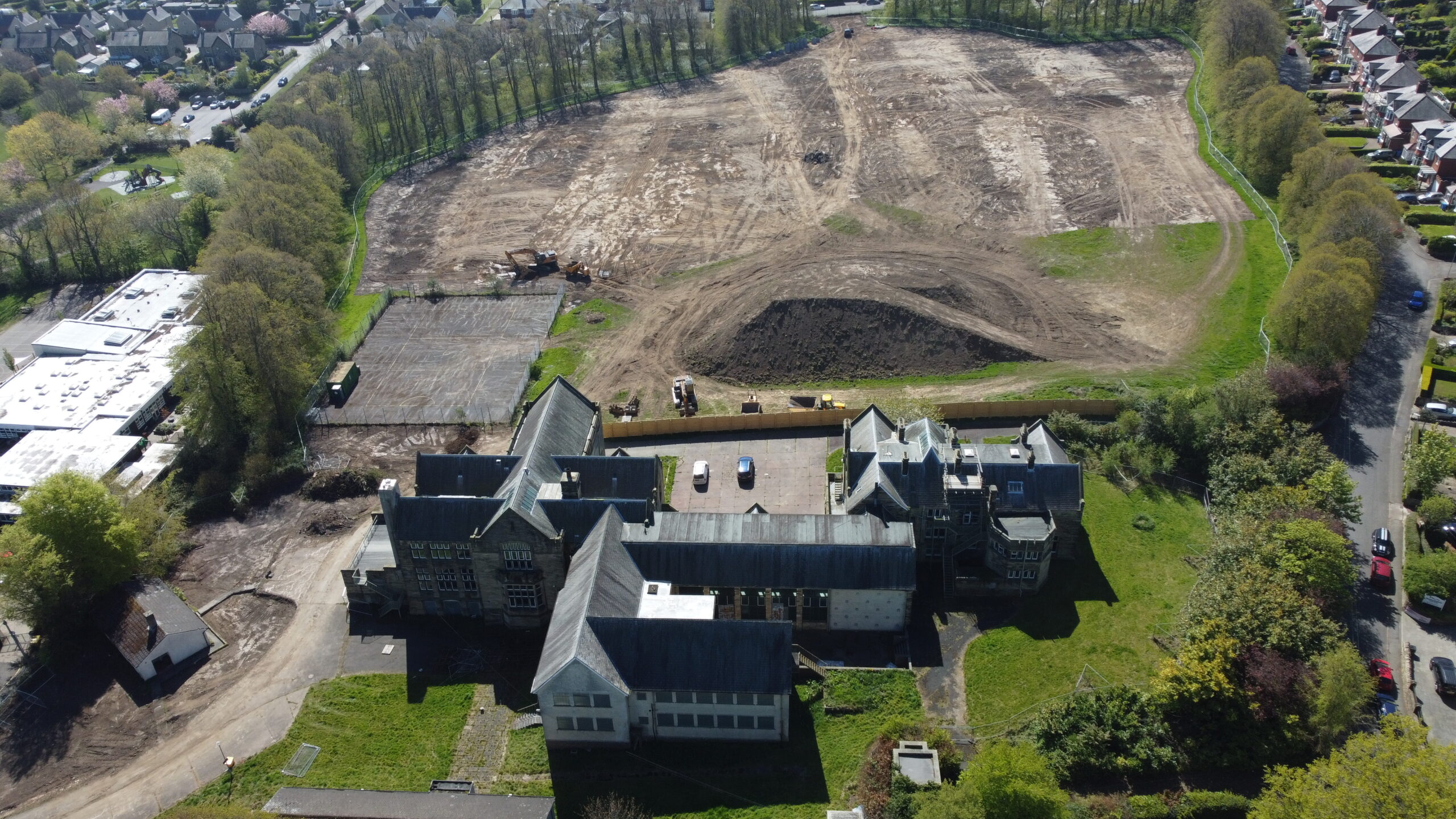
A high-precision LiDAR survey and cut-and-fill analysis was completed for the redevelopment of the former Duke’s Middle School site, providing accurate earthworks quantities and ground modelling for residential development.
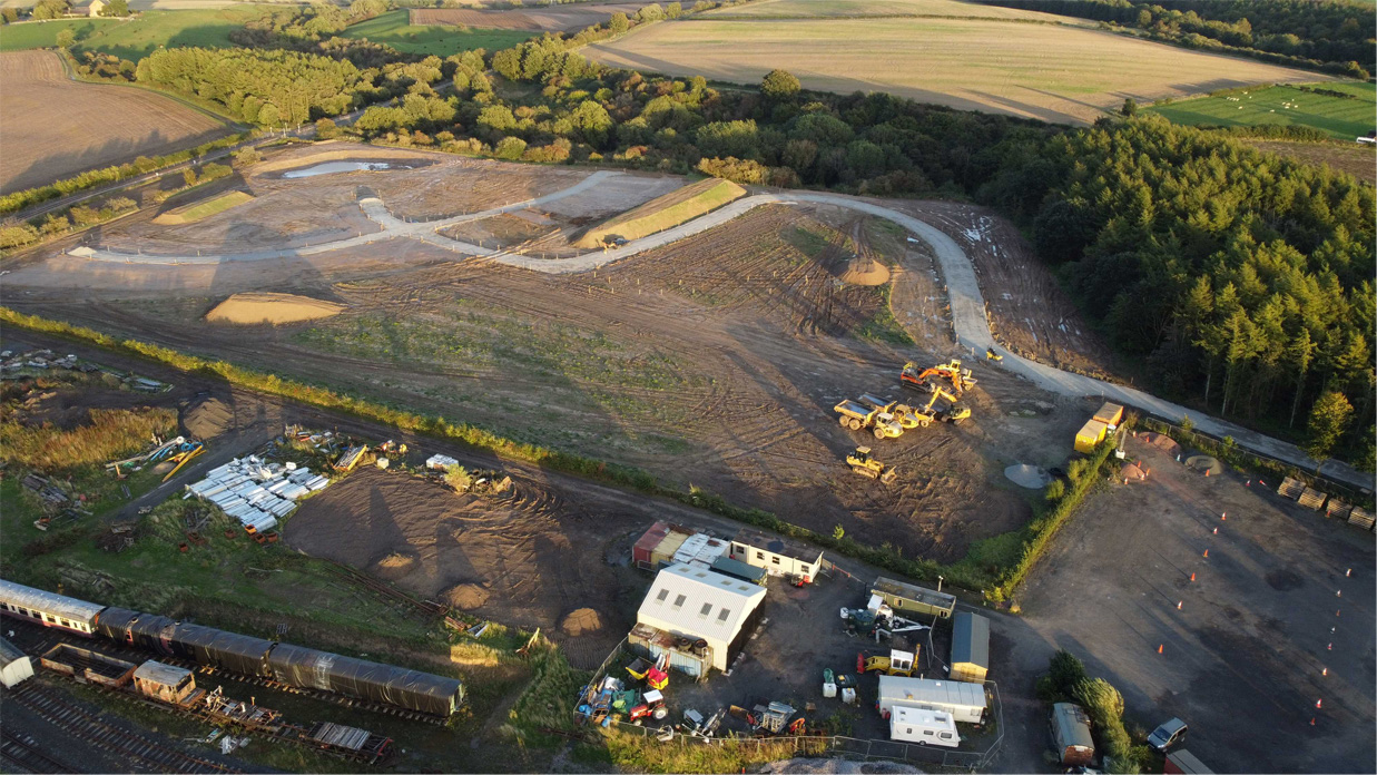
A site-wide LiDAR survey was completed for Phase 1 of the Alnwick Caravan Park development, providing terrain modelling and earthworks analysis to support construction planning.