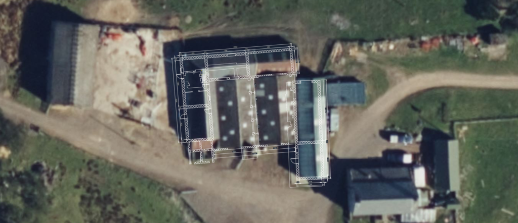
From topographic surveys and utility detection to drone LiDAR, BIM modelling and engineering setting out, Precision Site Engineering provides dependable survey and engineering services across the UK.
Supporting projects across construction, infrastructure, utilities, rail and land development, our team delivers accurate data and practical solutions that help projects move forward with confidence.
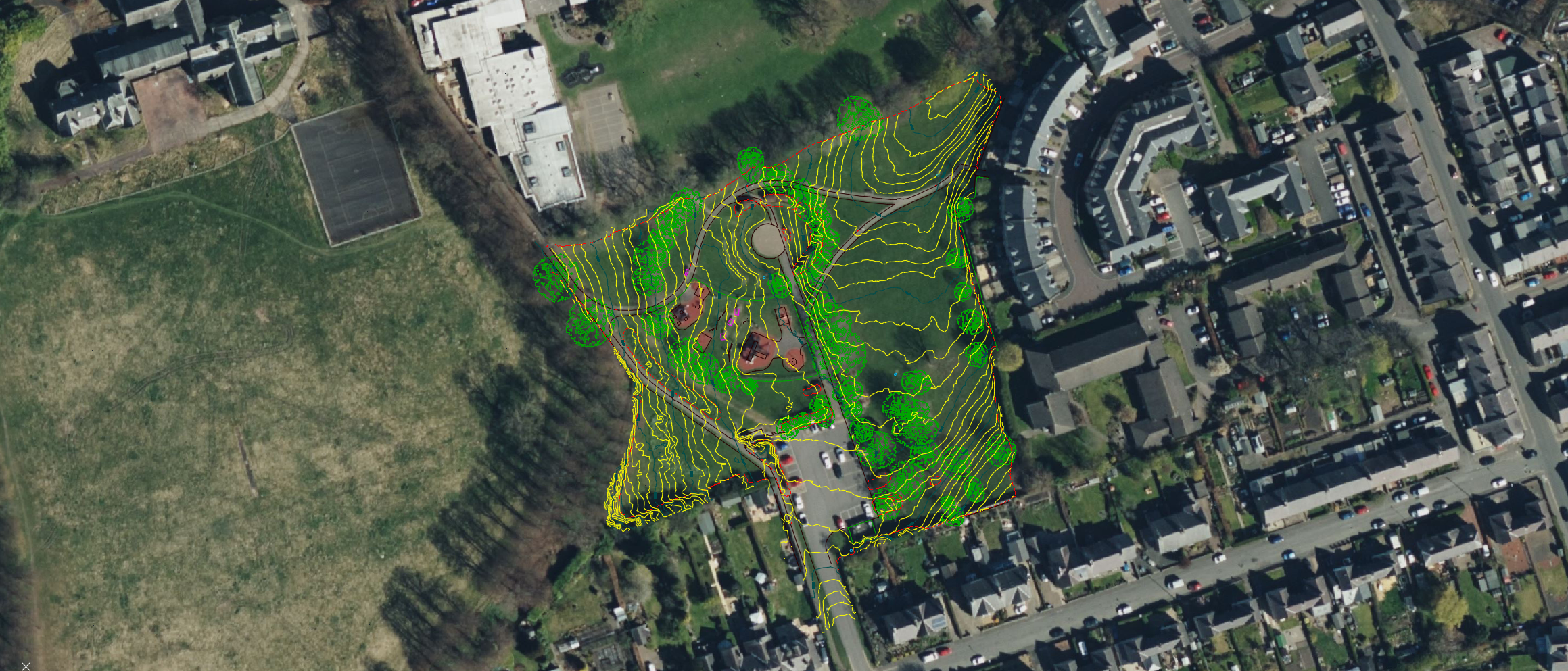
Our topographic surveys provide detailed and accurate information on land, terrain, structures and existing site features. Using advanced GNSS, total station and LiDAR technologies, we deliver reliable survey data to support planning applications, engineering design and construction projects.
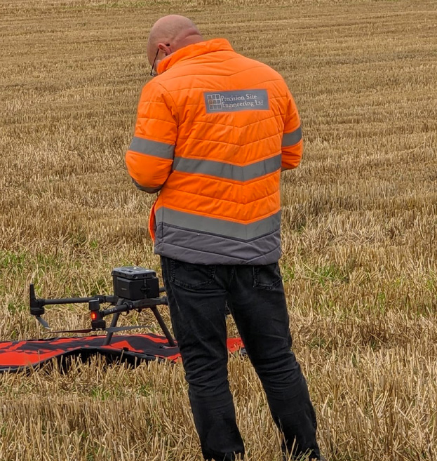
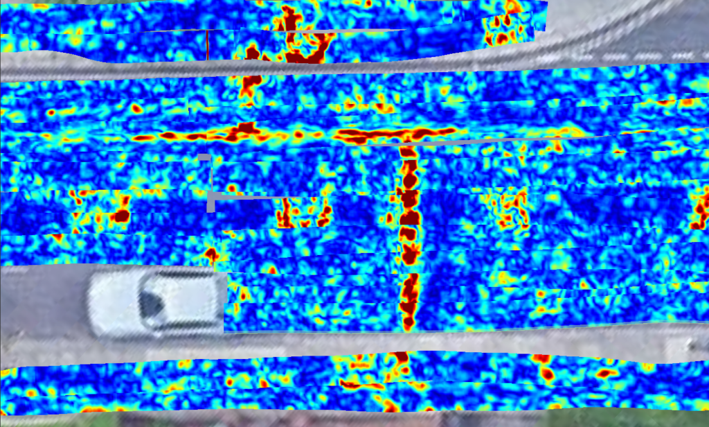
Using Ground Penetrating Radar (GPR) and utility detection technologies, we locate and map buried services to reduce risk and improve project safety before excavation begins.
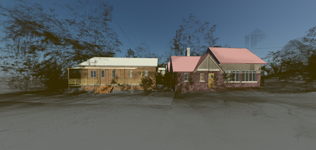
From laser scan data and measured surveys, we create BIM-ready models that support planning, design, construction and asset management.
Our volumetric surveys provide reliable measurements for stockpiles, excavations and earthworks operations. We help contractors, quarry operators and developers monitor progress, reduce risk and improve cost control.

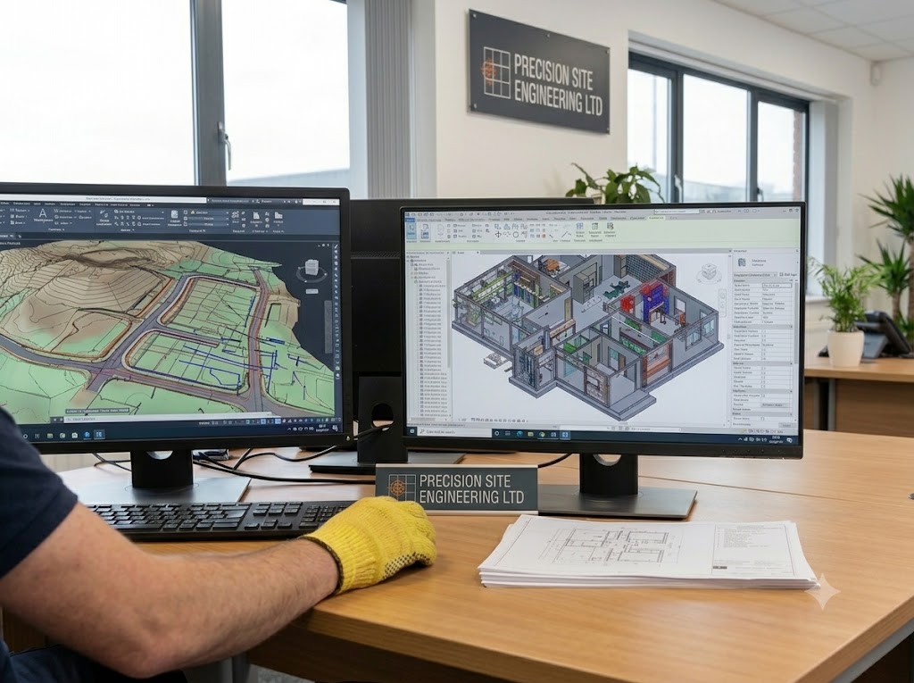
Our experienced team provides CAD production, data processing and consultancy support to help clients maximise the value of their survey information.
Our experienced site engineers provide precise setting out and engineering support services for construction, infrastructure and civil engineering projects. Using advanced GNSS, total stations and digital design data, we ensure structures, services and infrastructure are positioned accurately and built in accordance with design specifications.


Our as-built surveys accurately record completed works to confirm compliance with design specifications and support future maintenance, management and project handover requirements.
We produce accurate floor plans, elevations, sections and building information using advanced laser scanning technology. Our surveys provide architects, engineers and designers with dependable existing-condition data.