Accurate drawings and reliable technical information are essential for successful planning, design and construction projects.
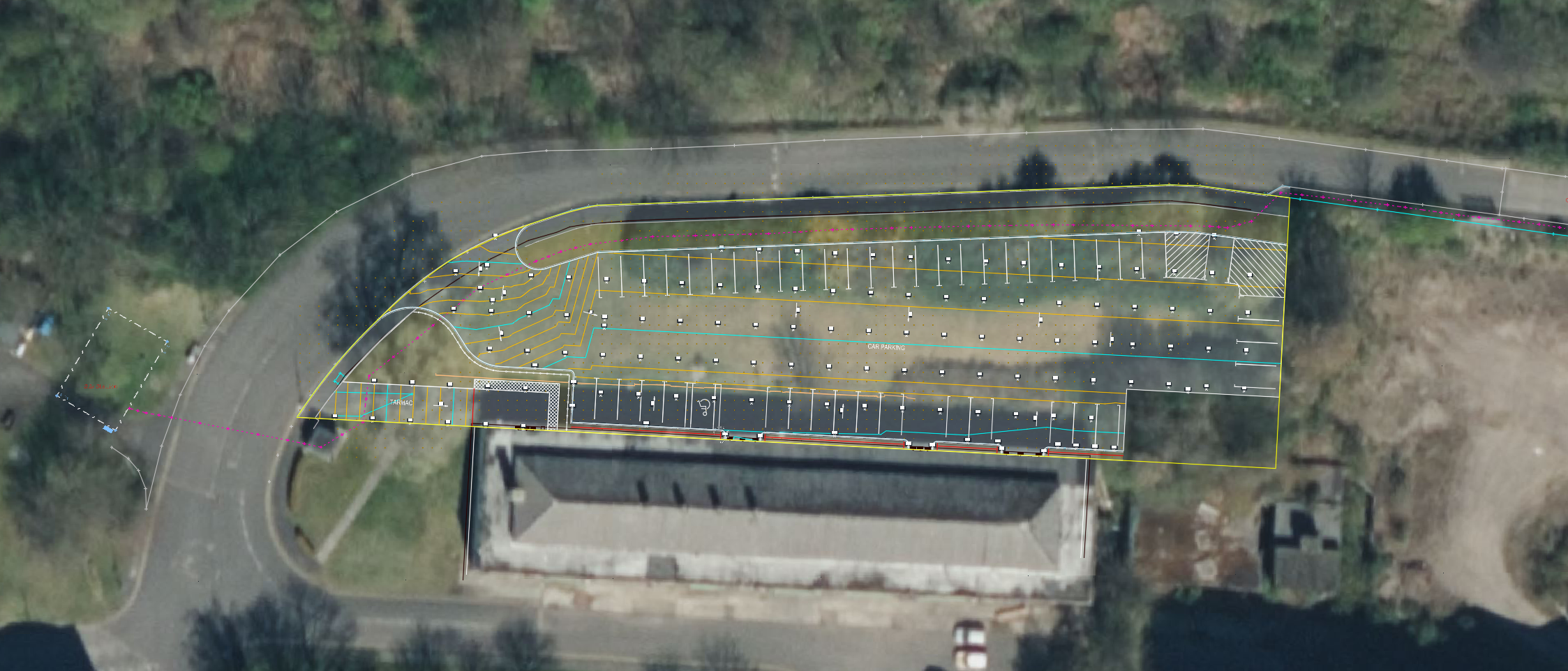
Our CAD & Consultancy services transform survey data into clear, professional deliverables that support architects, engineers, developers and contractors throughout the project lifecycle. Using information captured through topographic surveys, laser scanning, utility surveys and measured building surveys, we produce accurate digital drawings and technical outputs tailored to project requirements.
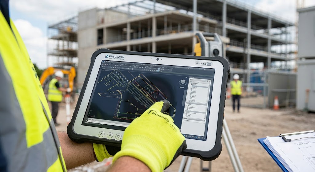
From AutoCAD drafting and drawing production to survey interpretation and technical support, we help clients convert complex survey information into practical, usable project documentation.
Whether you require survey drawings for planning, construction information for site teams, or technical support during project delivery, Precision Site Engineering provides dependable CAD and consultancy services that help projects progress with confidence.
How design & consultancy services Reduce Project Risk
WHY IS IT IMPORTANT?
Reliable project decisions depend upon reliable information.
Poor-quality drawings, incomplete records and uncoordinated information can lead to delays, design conflicts, construction issues and unnecessary project risk.
Our CAD & Consultancy services ensure survey information is presented clearly, accurately and in formats that project teams can immediately utilise. By providing technically accurate drawings and practical advice, we help clients improve coordination, reduce uncertainty and streamline project delivery.
What You'll Receive
Every project is tailored to client requirements, but deliverables typically include:
AutoCAD DWG files
PDF Drawing Packages
Survey Drawing Production
Topographic Survey Plans
Utility Survey Drawings
Measured Building Drawings
Drawing Revisions & Updates
Technical Support & Consultancy
Why Choose Precision Site Engineering?
Accurate drawings are only as reliable as the information behind them.
Our team combines extensive surveying knowledge with advanced CAD expertise to develop high-quality technical drawings that clients can trust. Because we understand how survey information is captured, processed and interpreted, we can provide practical support that goes beyond simple drafting services.
Working closely with architects, engineers, developers and contractors, we produce accurate, professional documentation that supports planning, design and construction activities across a wide range of sectors.
Typical Applications
PLANNING & DEVELOPMENT
Professional survey drawings and technical documentation to support planning applications and development proposals.
ARCHITECTURAL & ENGINEERING DESIGN
Existing-condition drawings, survey interpretation and CAD support for designers and consultants.
CONSTRUCTION & SITE OPERATIONS
Accurate digital information and drawing updates to support construction teams throughout project delivery.
ASSET & INFORMATION MANAGEMENT
Organised digital survey records, drawing management and technical support for ongoing asset management activities.
Measured Building Surveys // Scan to BIM & Digital Modelling
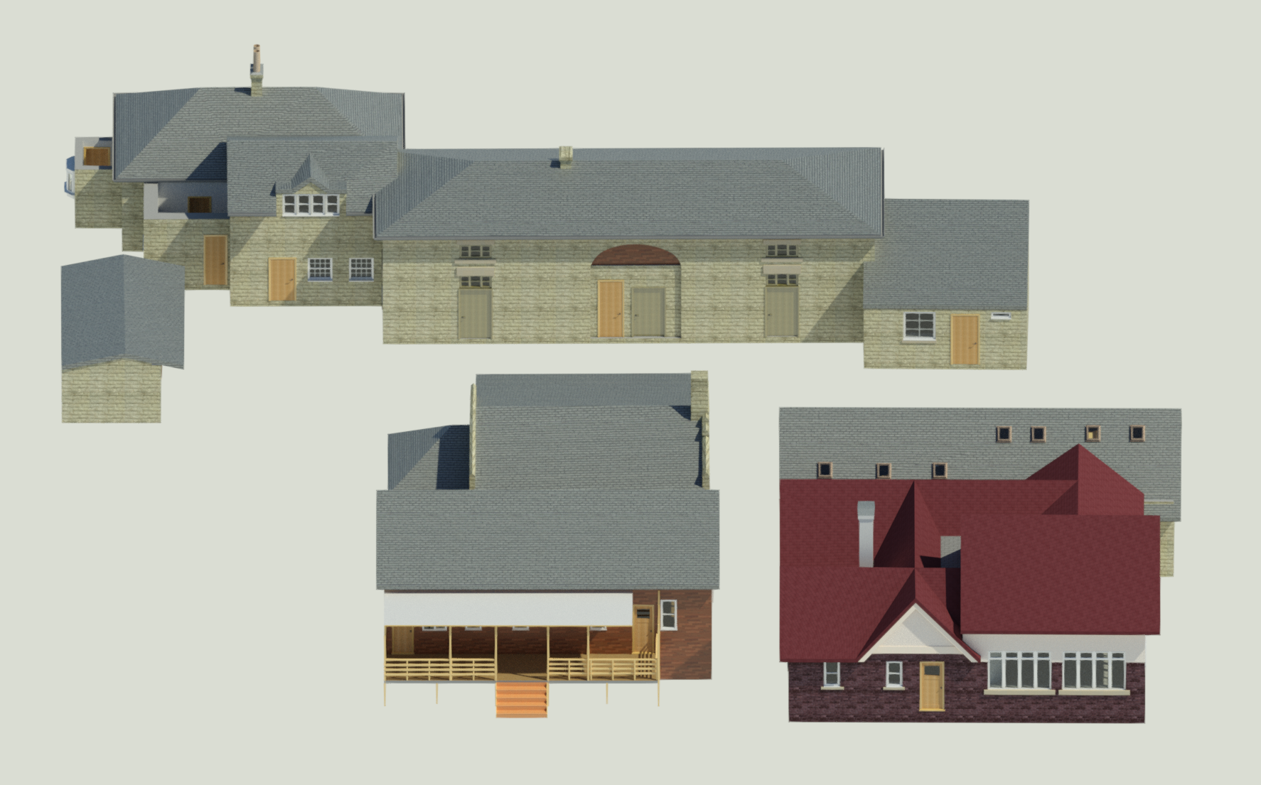
A detailed LiDAR and BIM survey was completed to create accurate digital models of Jesmond Dene’s listed tennis club buildings for redevelopment, conservation, and future asset management.
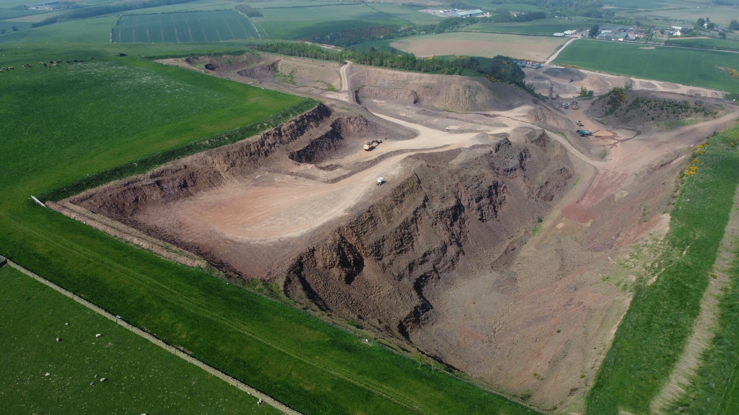
Ongoing drone surveying, laser scanning and volumetric analysis supporting quarry development and stockpile management across Glenfin and Fulfordlees Quarries since 2024.
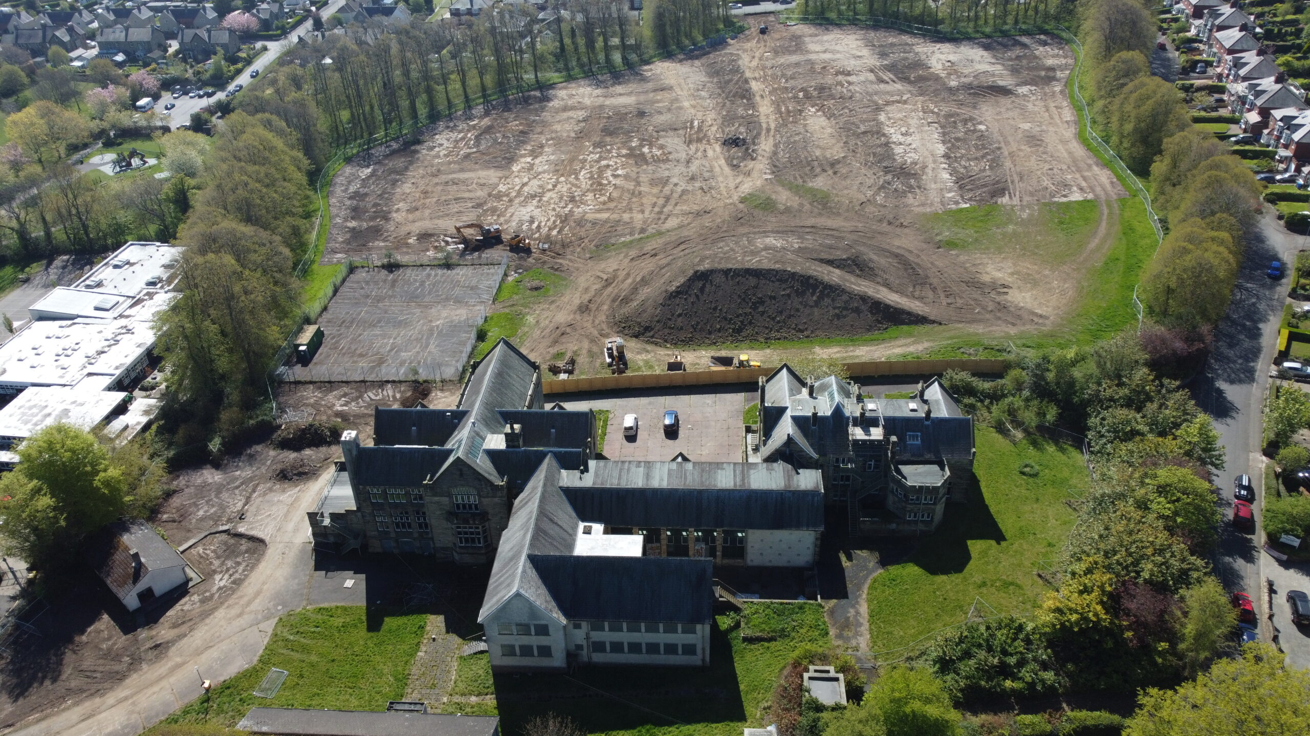
A high-precision LiDAR survey and cut-and-fill analysis was completed for the redevelopment of the former Duke’s Middle School site, providing accurate earthworks quantities and ground modelling for residential development.
Scan to BIM & Digital Modelling // Utility Detection & GPR
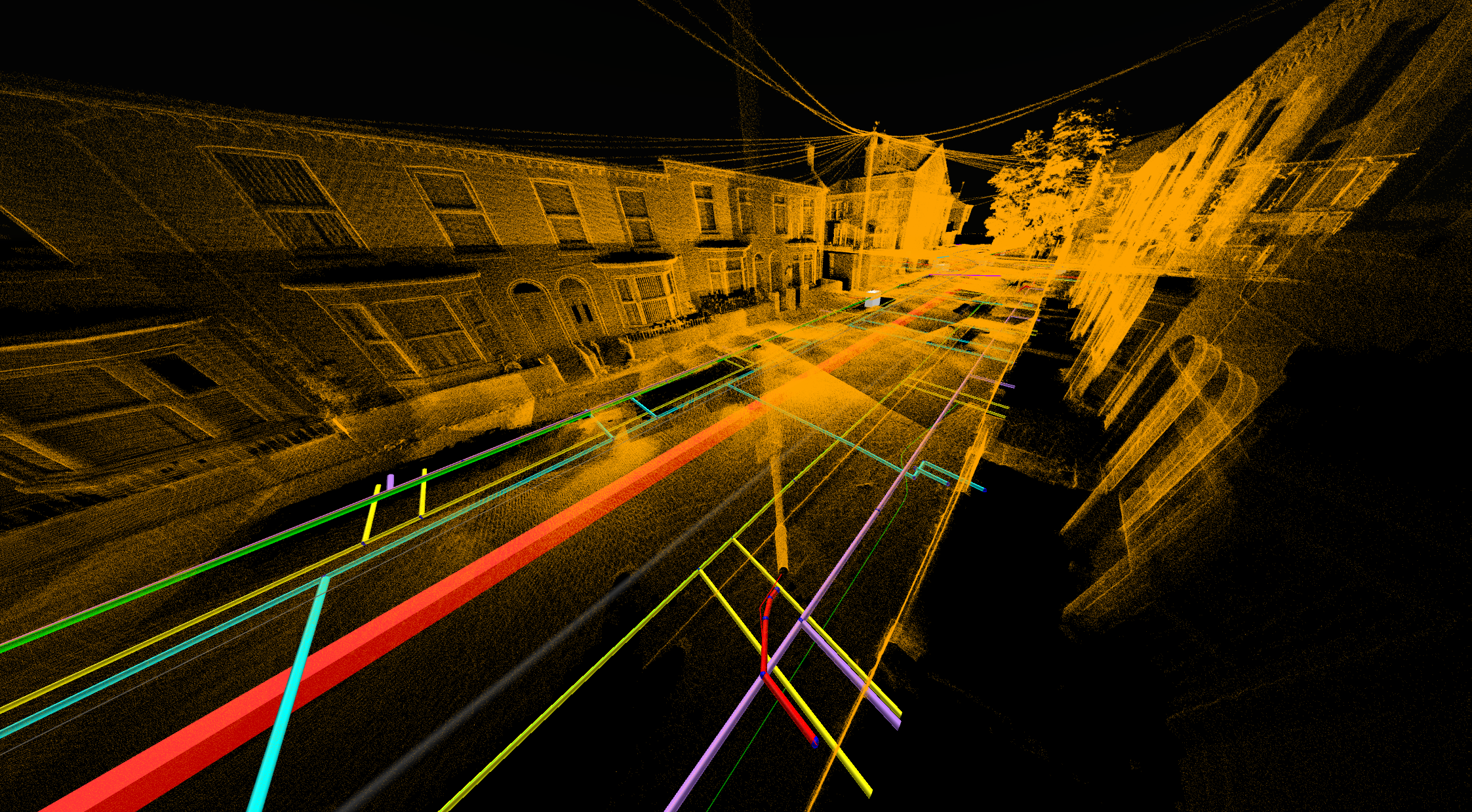
PAS128-compliant utility detection, GPR surveying and 3D utility modelling undertaken along Lancaster Street, Bootle to support future infrastructure works.
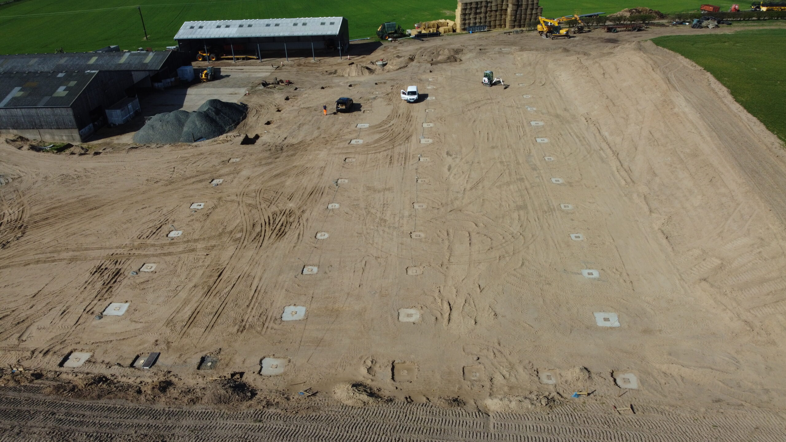
Survey and engineering support was provided for a residential hillside development, including ICF wall verification, construction monitoring, and quality assurance measurements.