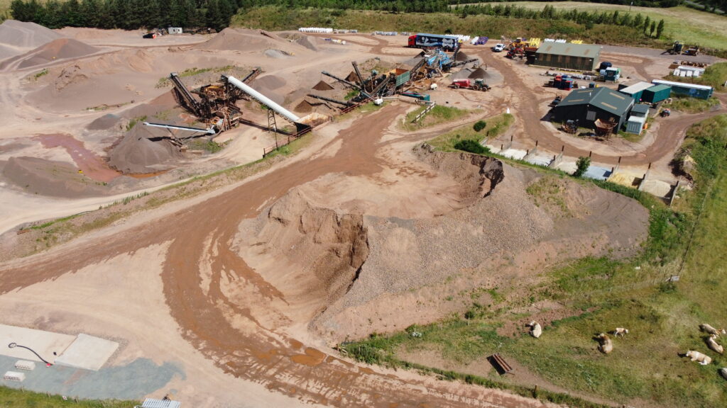
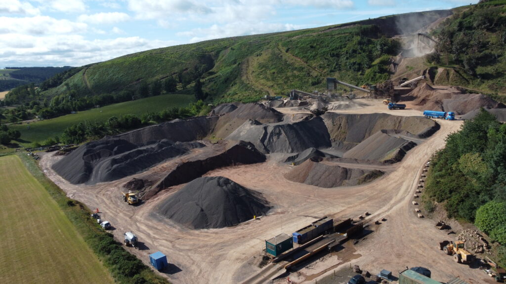
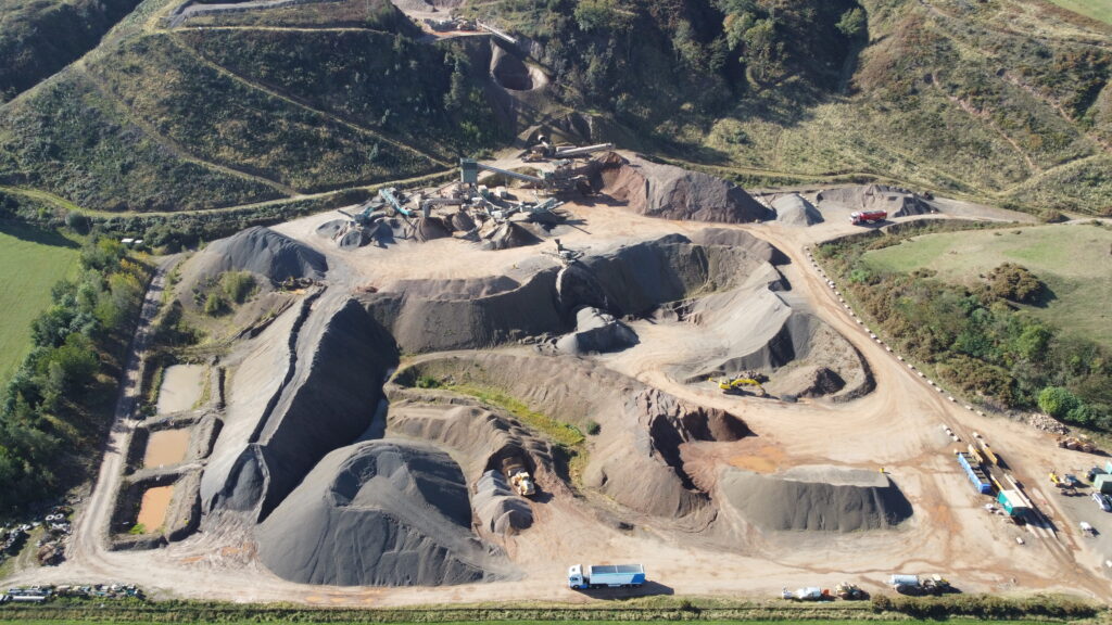
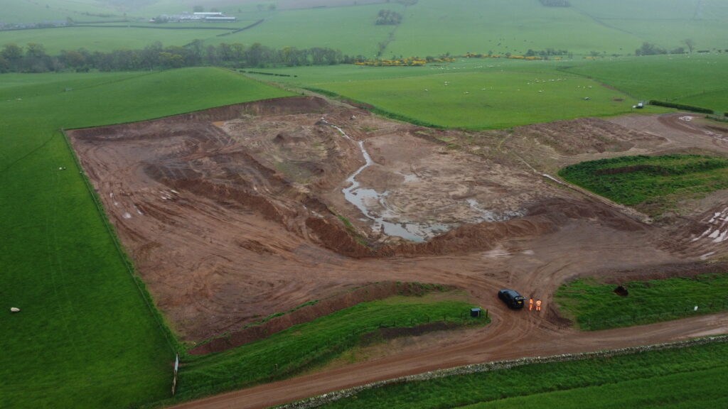
Precision Site Engineering was commissioned to undertake comprehensive quarry surveying and volumetric analysis services at Glenfin and Fulfordlees Quarries in support of quarry development, operational planning and material management. Since 2024, the company has continued to provide quarterly quarry volumetric surveys, supporting the client’s ongoing operational and reporting requirements.
The project involves two active quarry sites comprising a primary stone quarry of approximately 1,200m² and a secondary quarry extending over approximately 400m². Using a combination of UAV drone surveys, laser scanning technology and advanced digital modelling workflows, Precision Site Engineering captures highly detailed topographic information and stockpile data across both sites.
The surveys have enabled the accurate measurement and analysis of more than 30 stockpiles and over 90,000m³ of material. By utilising advanced reality-capture technologies capable of collecting millions of survey points, the team has delivered highly accurate topographic drawings, digital terrain models and volumetric calculations to support quarry development, resource management and operational decision-making.
Through a combination of surveying expertise, reality capture technology and digital engineering workflows, Precision Site Engineering continues to provide reliable survey data and ongoing volumetric support across both quarry sites.