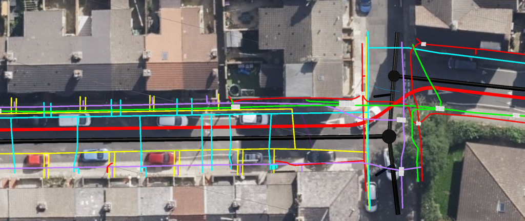
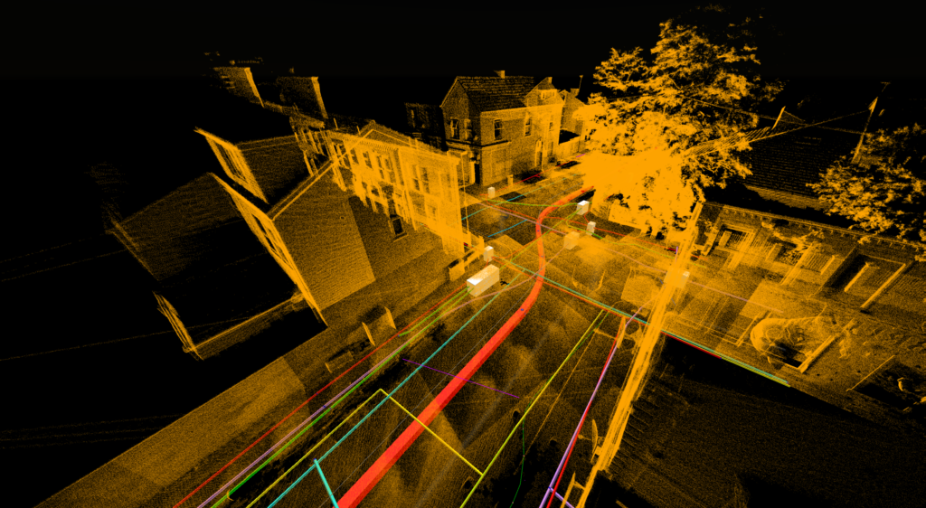
Precision Site Engineering was commissioned to undertake a PAS128-compliant utility detection and Ground Penetrating Radar (GPR) survey along approximately 200 metres of Lancaster Street, Bootle, including a road junction at the western end of the survey corridor. The project was carried out to provide a detailed understanding of the existing underground utility network and to support proposed infrastructure works within the area. Using a combination of electromagnetic detection, GPR surveying and LiDAR reality capture, the team identified and mapped a range of buried services including electrical networks, telecommunications infrastructure, water services and sewer assets. The survey data was processed to produce detailed utility drawings and a coordinated 3D digital model, combining both the underground utility information and LiDAR survey data into a single integrated environment. This provided the client with a comprehensive understanding of both the surface and subsurface conditions, supporting improved planning, design coordination and risk reduction throughout the project lifecycle.